
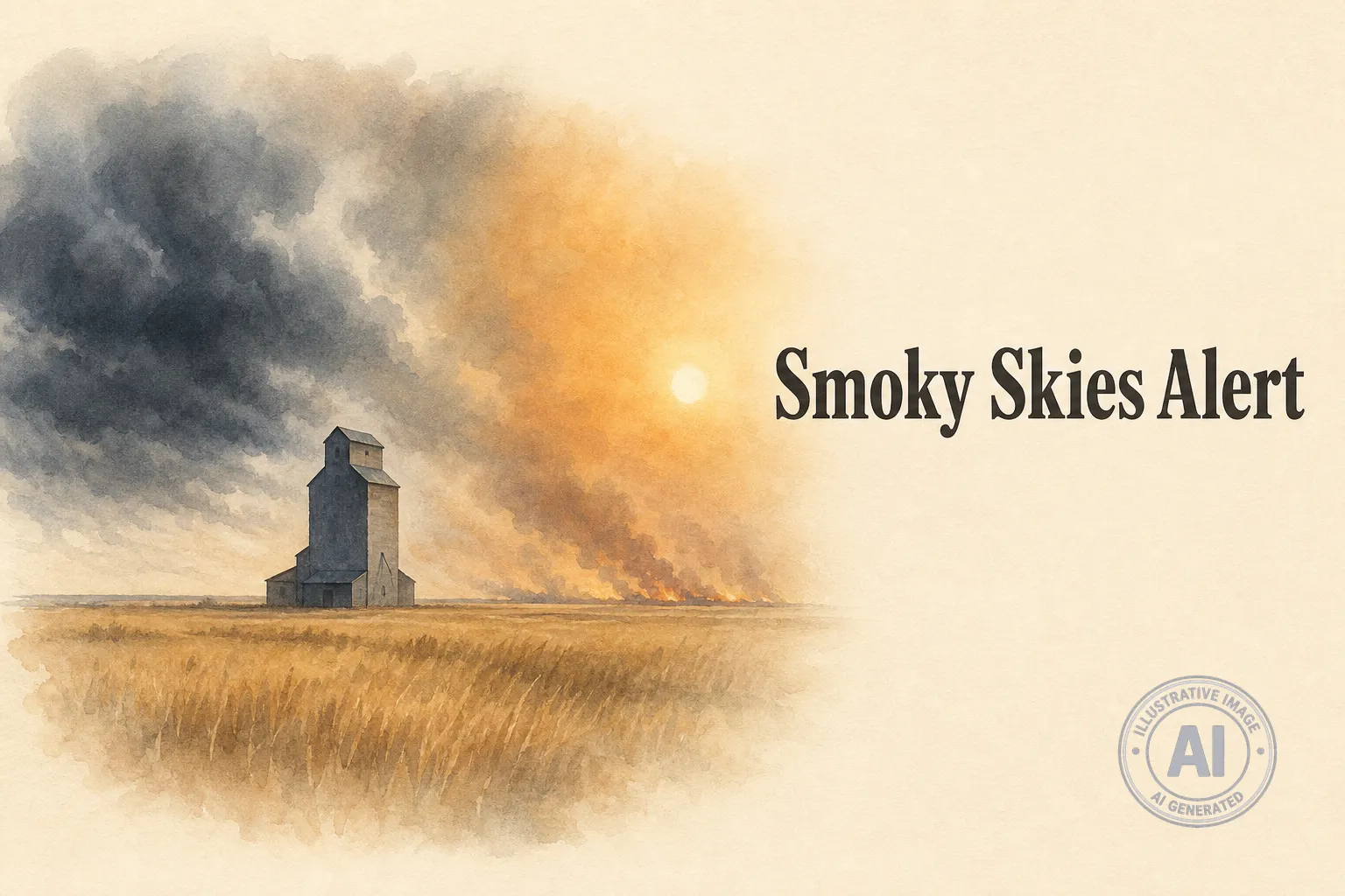
Wetaskiwin is in for a messy start to the week. Environment Canada says Monday will bring a few morning showers, a chance of thunderstorms, and widespread smoke before things clear up and turn sunny by mid-week.
Rainfall of about 5 millimetres is expected to wrap up near noon, with the risk of a thunderstorm mainly this morning. By this afternoon, smoke from wildfires burning in Saskatchewan and the Northwest Territories will spread across the area, bringing hazy skies and elevated air quality concerns.
The temperature will reach a high of 24°C, but with humidity it will feel more like 28. A north wind of 20 kilometres per hour gusting to 40 will pick up around midday. No weather alerts are currently in effect for the County of Wetaskiwin, according to a 9:30 a.m. update.
The Air Quality Health Index for the Edmonton region, which includes Wetaskiwin, is pegged at 7 out of 10, a high risk level, through Tuesday night. That’s due to the wildfire smoke that’s drifting in from neighbouring provinces. Residents are encouraged to limit time outside, especially if they have breathing issues.
Looking ahead, conditions will improve quickly. Tuesday brings a 30 per cent chance of showers and a high of 25°C with a humidex of 30. By Wednesday, expect full sun and 28°C. Thursday will be the hottest day of the week with a high of 32°C and sunny skies. The weekend looks pleasant with a mix of sun and cloud and highs in the mid to upper 20s.
This unsettled stretch comes days after a tornado struck the Rocky Mountain House and Clearwater County area on July 18, tearing up trees, damaging homes and knocking out power. No serious injuries were reported there, but the storm was a stark reminder of the wild weather Alberta can see in July.

