
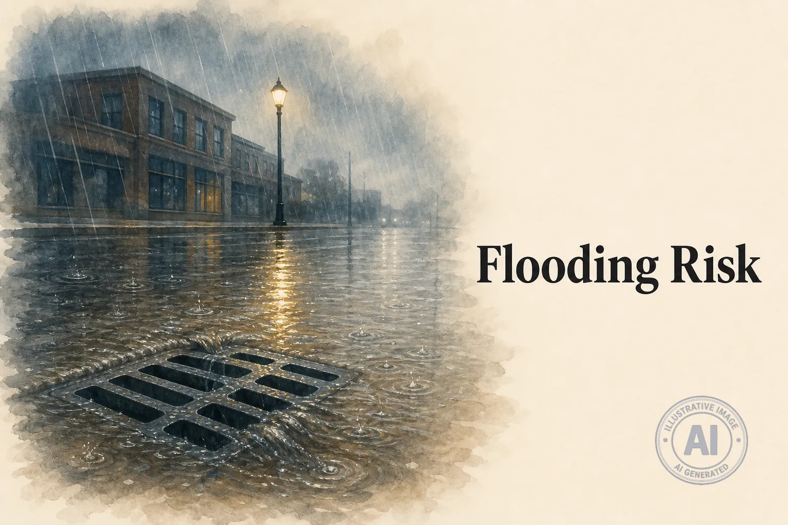
Kingston, Ontario, is under a Special Weather Statement from Environment Canada as a stalled low pressure system is expected to bring 50 to 100 millimetres of rain locally from Tuesday night through Wednesday morning. Multiple rounds of showers and thunderstorms could lead to flooding in low-lying areas and hazardous driving conditions.
As of late Tuesday morning, conditions at the Kingston airport were mostly cloudy with a temperature of 22°C, 94% humidity, and falling pressure. Showers began in the early afternoon, with 30 to 40 mm of rain expected and a risk of thunderstorms continuing into the night.
Environment Canada warns that some areas may see rainfall amounts approaching 100 mm. “A low pressure system is expected to stall over the area today,” the statement reads. “Multiple rounds of showers and thunderstorms are expected for some areas.”
Lower Trent Conservation has issued a Watershed Conditions Statement for water safety, noting that while widespread flooding is not expected, localized flooding is possible in urban areas where storm drains may be overwhelmed by intense rainfall. Lake Ontario water levels, measured at 75.35 metres on July 16, sit just above the messaging threshold of 75.30 metres but remain well below the 1:100-year flood elevation of 76.14 metres.
Residents are advised to prepare for possible power outages, avoid driving through flooded roads, and stay updated on changing conditions. The weather is expected to improve by Thursday, with sunny skies and a high of 27°C returning to the region.

