
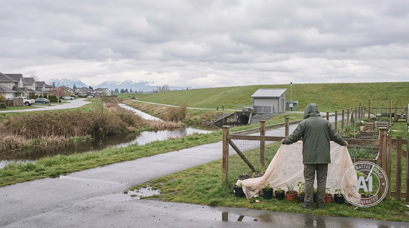
Residents of Pitt Meadows should prepare for a week of cool, unsettled weather, though there are currently no flood or weather alerts in effect for the community. According to Environment Canada, the forecast from April 15 to April 20, 2026, includes a mix of sun and clouds with a 40 per cent chance of showers and a risk of thunderstorms this Wednesday afternoon.
Temperatures will remain on the cooler side early this week, starting at 8°C on Wednesday. Clear nights through Thursday are expected to bring temperatures down to 2°C, creating a risk of frost. Gardeners and those with sensitive plants are encouraged to take necessary precautions to protect their greenery from the overnight chill.
Warmer conditions are expected as the week progresses, with daytime highs reaching 16°C by Saturday. However, the mild weather will be short-lived, as rain is expected to return to the area Saturday night and continue throughout Sunday.
While the spring season marks the start of the annual freshet period, which typically runs from April through July, current data shows no immediate cause for concern. The BC River Forecast Centre reports no active flood warnings or advisories for the region. This comes as recent provincial data indicates that while the overall snowpack in British Columbia is at 92 per cent of normal, the South Coast region is significantly below average.
As roughly 85 per cent of Pitt Meadows sits within the Fraser River and Pitt River floodplains, the city maintains infrastructure to manage water levels. The City of Pitt Meadows oversees a protective system that includes 60 kilometres of dikes, along with six pump stations, ditches, and flood boxes to support ongoing flood mitigation.

