The Lower Thames Valley Conservation Authority has extended a flood outlook for the Thames River area, including Elgin County, as high water levels and incoming rain create hazardous conditions. The advisory remains in effect until April 22, 2026, following concerns about elevated river levels throughout the region.
According to Environment Canada, 10 to 20 millimetres of rainfall is forecast for the St. Thomas and eastern Elgin County area. Because the ground is already saturated from previous spring rains, it has a limited capacity to absorb this additional moisture. Smaller watercourses in the area may spill their banks into low-lying lands.
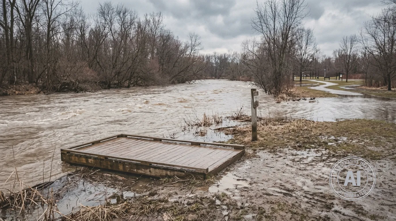
The Thames River is currently running higher than usual, with water levels reaching above the downtown sidewalk in Chatham. The conservation authority expects water levels to remain high through the weekend in upstream areas, including Middlesex and Elgin counties, and to stay elevated into the middle of next week for downstream areas in Chatham-Kent. To manage these flows, the authority has been operating the McGregor Creek Diversion Channel to help protect homes and businesses.
Residents are strongly advised to stay away from all local waterways, including rivers, streams, and ditches. Officials note that the combination of slippery banks, cold temperatures, and fast-moving water creates dangerous conditions for anyone nearby. These precautions are especially relevant for those planning outdoor activities near local reservoirs, such as the Dalewood Conservation Area in St. Thomas, where fishing platforms are available for the upcoming season.
Anglers are reminded that the Thames River falls under provincial Fisheries Management Zone 16 rules. Certain areas, such as the portion of the river between the Gordon Pittock Reservoir dam and the Highway 59 bridge, are designated as fish sanctuaries and are closed to fishing until the second Saturday in May.
