
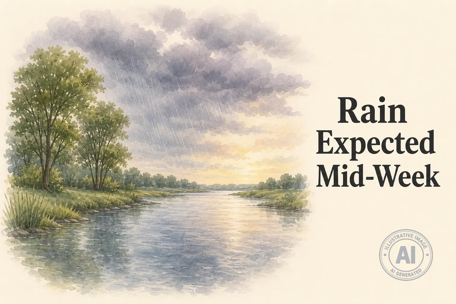
Unsettled weather is on tap for Mississippi Mills this week, with daily chances of showers and a risk of thunderstorms into Tuesday. Residents should keep rain gear handy and monitor changing conditions, especially during outdoor activities.
According to Environment Canada, Monday will be mostly cloudy with a 40 percent chance of showers this evening and a few showers beginning near midnight, with local amounts around 5 mm and a low of 15°C. Tuesday brings a risk of thunderstorms in the morning and afternoon, with local amounts of 10 to 15 mm and a high of 23°C, feeling like 31 with the humidex. Wednesday will be cloudy with a 60 percent chance of showers and a high of 26°C.
Despite the wet pattern, the Mississippi Valley Conservation Authority reports normal flood status and normal water levels throughout the Mississippi River watershed. Normal status means no flood conditions exist, but residents are reminded that flowing water always carries some risk to personal safety.
Conditions are expected to improve by the weekend. Friday will feature a mix of sun and cloud with a 30 percent chance of showers and a high of 23°C, while Saturday will see a mix of sun and cloud with a high of 24°C.
As of 5:00 PM Monday, the temperature at the Ottawa Macdonald-Cartier International Airport was 22.9°C with a humidex of 28, humidity at 69 percent, and light south-southeast winds at 5 km/h. The barometric pressure was falling at 101.8 kPa.

