
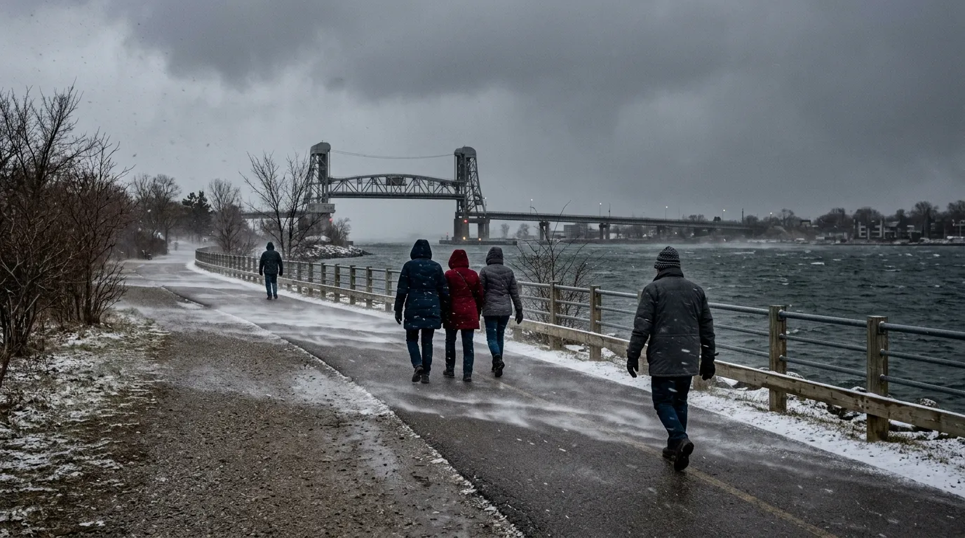
Residents in Burlington are feeling a sharp chill this week as a cold snap moves through the region, bringing flurries and winter-like temperatures to the community. According to Environment Canada, the cold air is expected to persist through Tuesday, April 7, 2026, before conditions begin to moderate later in the week.
Observations from the Burlington Lift Bridge weather station recorded a temperature of -3.6°C early Tuesday morning, with wind chill values near -11. While flurries are expected to clear by Tuesday afternoon, residents should prepare for a cold night, with overnight lows forecast to drop to -6°C and wind chills reaching -10.
This drop in temperature puts Burlington approximately 6 to 7 degrees below normal for early April, when highs typically sit near 10°C. Meteorologists note that this mid-spring cold spell is a recurring pattern in the region, often described as a third winter that follows initial periods of milder weather.
Despite the unseasonably cold conditions, there are no weather alerts currently in effect for the area. The cold is expected to be short-lived, with temperatures forecasted to climb to 16°C by Thursday, April 9. A mild, more seasonal weekend is on the horizon, with temperatures predicted to range between 12°C and 15°C, providing a break for those looking to spend time outdoors.

